Last time: Scaring an eagle -- Links to all of my adventures.
 |
| Lily Pond |
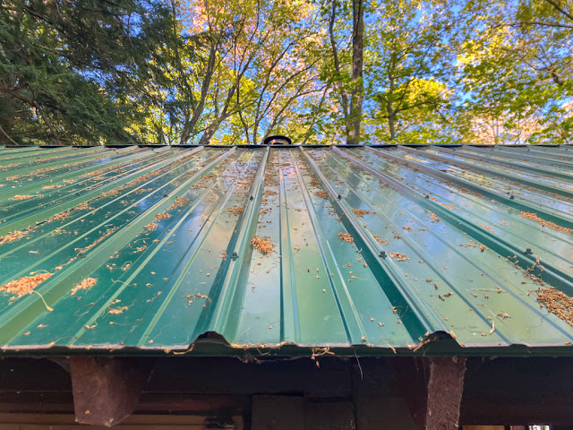
Friday May 30, 2025: I woke up to the sound of rain on the Lily Pond cabin's metal roof. I stayed snuggled up under my quilt, listening as a roll of thunder turned the rain into a torrential downpour. A few minutes later the rain settled into merely heavy.
One consequence of my phone going nuts on the first day of this trip was that it became harder (but not impossible) to use our satellite messenger. Our main reason for having the messenger is for emergencies, but a secondary use is checking the weather forecast. This is easiest through a phone app that pairs with the messenger, although it's possible to get a very general idea of the weather through the device's tiny screen. We had done so, and it showed a 40% chance of "rain" today -- nothing to worry about. The tiny screen showed only the percentage, not any details about it. This was definitely rain, and then some.
I tried to roll over and go to sleep, but anxiety about the rain kept me awake. I had slept fitfully, as was my destiny on this trip. Now I'd also managed to wake up at 6:30 am, earlier than any other day, leaving me bleary and a bit irritable.
I got up and started making the day's first cup of tea. As I did, the rain died off, and was completely gone by 7:30 am.
Once Sarah was awake, we shared tea and our last batch of mush, er, oatmeal, along with dust, er, yes dust -- the very dregs of the freeze-dried raspberries.
 |
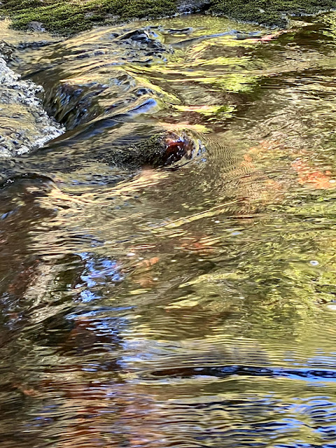
| Little Carp river just below Lily Pond |
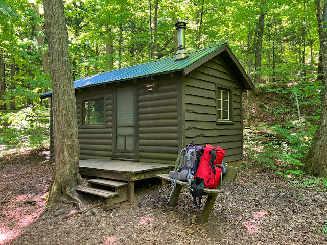
We were fully packed and out the door by 9 am. This was my third trip to Lily Pond cabin, and Sarah's second. We agreed that it was still beautiful, especially situated as it is next to both the pond and the river. Its bridge, and the bench in the middle of it, is another fantastic feature. The cabin is right on the trail, not my favorite feature, but that's not a big deal in the shoulder seasons. I'll definitely return.
The day had settled into gray but at least not rainy. There was even a hint of sunlight off to the east. It was mostly a bright spot in the clouds, but hopefully a sign of things to come.
The woods were misty and wet from the morning's rain. The mist seemed to make colors more intense, especially the bright green of spring leaves. It was magical.
I mentioned this -- yes, all of that previous paragraph -- to Sarah as we had just crossed the bridge. As the words left my mouth, thunder immediately crashed from off to our west. Uh oh.
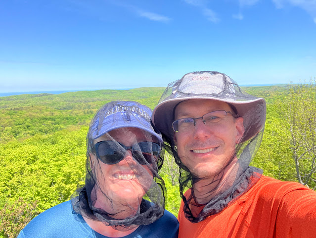
Rain soon started falling. It was gentle at first, but then the thunder started up again. The rain increased. By the time we had turned onto Beaver Creek trail, the rain could reasonably be called "heavy" and the thunder was "frequent". Luckily, we were both decked out in full rain gear (and bug nets to boot).
This was the most exposed part of the trail. We hurried along the boardwalks. Then as we started to see flashes of lightening to go with the thunder, we positively raced across the bridge that crosses the river. Being caught backpacking in a thunderstorm is not a good idea, but if it happens, there's not a lot you can do except keep moving -- and we were now within a mile of our car, so it definitely wasn't worth trying to find a place to hole up.
 |
| Running from the thunderstorm |
The hike up Summit Peak was hot and sweaty because of the uphill climb, the fact that we were moving as fast as we could with packs on our backs, and of course the effects of our "breathable" rain gear (always a lie). But, we made it. The rain remained heavy. The thunder and lightening skirted us to the south but was never directly over us.
I have never been so happy to see our car. We tossed our packs into the back seat, ignoring the water running off them. We got into the car and looked at each other, with water draining off of our rain gear. Whew!
We drove around the park, back to the Ski Chalet, to drop off our keys. The ranger at the check-in desk asked how our trip had gone so I mentioned our exciting hike out in a thunderstorm, only to be met by blank looks. It hadn't even rained on this side of the park. We later learned that a very broken line of storms had crossed the western UP coming from the northwest, and we just happened to be hiking next to one small cell.
Back in our car, we headed east. We hadn't made any hotel reservations for the end of our trip, since we could have walked out of the woods on several different days. We decided to head for the Soo tonight and find a hotel there. That would also let us get big greasy hamburgers with big greasy onion rings at a favorite burger joint.
But first, Sarah said "I want some more biscuits for lunch", so we detoured to Bosio Biscuits up in Tapiola for another delicious meal, plus a box of biscuits to go. They've definitely become a permanent stop on our UP travels.
... ok, maybe it was finally food fantasy time.
We drove across the UP, got a spot at a cheap but perfectly adequate hotel (read: they had a shower), checked in, and took some serious showers. Then we immediately headed to West Pier, a tiny out-of-the way burger drive-in that (rightly, but oddly) claims to have the "second best burgers in Michigan". I got a side of onion rings, Sarah got a vanilla shake. We sat at a park and enjoyed them, even though the burgers were enormous and a gaggle of geese and seagulls took a strong interest in us. They were indeed delicious (the burgers, that is).
 |
| Another look at the Lake Superior trail |
Saturday May 31, 2025: We slept very well. We got breakfast from an all-time Soo favorite, Penny's Kitchen, and took it with us to a park along the waterfront. Along the way, we saw a Viking cruise ship docked below the locks. Downtown was a zoo. The inhabitants of the cruise ship were out on shore leave, walking in carefully tended tour groups led by people holding large numbered signs. They were heading to the fudge and tourist shops, the locks, and who knows where else. Tour busses were heading in the direction of the casino.
At the park, we saw a second Viking cruise ship go past, presumably heading to the locks. This was definitely a good day not to be trying to get a beer in the Soo! Shortly afterward, a more traditional ore freighter came the other way. All the while the small and harried Sugar Island ferry kept zipping across the channel, dodging the boats. The park was filled with people there to watch the boats, including a tiny kid (at most 5 years old, probably less) doing his best to "honk" the freighter. It obliged, loudly and repeatedly.
The rest of the drive home was long, slow, and quiet. I finally managed to make a tiny bit of progress on my broken phone, figuring out how to get it to back up the photos I'd taken on the first day of the trip. It could only do one at a time, before I had to go through a bunch of restart loops. Slowly but surely, I got my photos back. I eventually ended up doing a factory reset, restoring from an (old) backup, and getting it working again.
 |
| And now a word from our host |
Final thoughts: I don't have a whole lot to say about this trip that I haven't said many times before. Backpacking in the Porkies is one of my favorite things to do, and this time was no exception. The trails and cabins were lovely, as was Lake Superior itself. We lucked out with weather (except on the last day), mud, and bugs.
However, this trip was much more fun than last year's solo trip. That's because I was back to backpacking with my favorite hiking buddy, The Lovely Sarah. I do enjoy solo trips occasionally, but backpacking is better when it's shared.
We both really enjoyed our rest day at Lake Superior cabin, and the way it unlocked an interesting dayhike for me and extra relaxation for Sarah. This led us to discuss, at length, a "2-2-2" trip: Stay at three cabins, each for two consecutive days. Basically, a short trip with a rest day every other day, giving us time to enjoy each location that much more.
I'm looking forward to planning how to do this for next year's trip, which will most likely be right back to the Porkies again. It's my favorite backpacking place in the world for a reason.
Miles hiked: 2.0
Total miles: 23.0
If you liked this series, check out my many other backpacking blog posts.
 |
| Final map: A lot of back-and-forth. Day 1: Pink. Day 2: Green. Day 3: Yellow (dayhike). Day 4: Blue. Day 5: Orange (in two parts). Day 6: blue-gray. |
